← Home · Seismic

Seismic Microzonation in Wollongong – Data-Driven Site Response

Together, we solve the challenges of tomorrow.

LEARN MORE →

Wollongong sits on a complex geological edge. The Illawarra Escarpment rises sharply from a narrow coastal plain built on Quaternary alluvium and residual soils. Seismic hazard here is not uniform. A site in Figtree reacts differently than one in Port Kembla. Ground motion amplification varies with depth to bedrock and soil stiffness. Our seismic microzonation work maps these differences block by block. We define spectral accelerations for each soil profile. This feeds directly into structural design. AS 1170.4 demands site-specific hazard assessment when soil class is uncertain. A regional CPT test campaign gives us the continuous stratigraphy we need. We then model shear wave propagation. The output is a practical map. Engineers use it to set design ground motions. No guesswork involved. Just measured data and verified models.

Amplification factors can triple across a single Wollongong site when bedrock depth changes by 15 metres.

How we work

A recent industrial facility on Flinders Street sat on variable fill over residual claystone. Depth to Class B rock ranged from 4 to 22 metres across the block. Uniform design parameters made no sense. We ran a dense array of MASW profiles and downhole seismic. Combined with laboratory cyclic triaxial on undisturbed samples, we built a 3D shear wave velocity model. Ground motion amplification factors varied by a factor of 2.8. The structural engineer used our microzonation map to define three distinct seismic demand zones. This avoided costly overdesign on the shallow rock half. It also flagged the deep soil corner for specific liquefaction assessment. That corner hit the trigger criteria. The client saved on foundation costs and got a defensible design basis. That is the value of knowing your ground response before the first column is detailed.
Seismic Microzonation in Wollongong – Data-Driven Site Response
Technical reference image — Wollongong

Site-specific factors

Coastal Wollongong has a thin sediment veneer over Hawkesbury Sandstone and shale. Bedrock steps down fast west of the Princes Highway. An engineer who uses a generic Class C soil factor for a site near the escarpment foot risks underestimating short-period amplification. We have seen footprints where Vs30 varies from 200 to 500 m/s within 50 metres. The worst outcome is a structural period that aligns with the amplified ground period. That is resonance. It shows up in our spectral ratio plots. We catch it early. The microzonation map becomes the first risk register for the project. It tells you where to investigate more. Where to avoid uniform design. Where to bring in a seismic refraction line to resolve a bedrock step. Ignoring site effects is a bet you cannot afford in a region with Newcastle 1989 in living memory.

Need a geotechnical assessment?

Reply within 24h.

Email: contact@geotechnicalengineering1.co

Reference parameters

ParameterTypical value
Site Class per AS 1170.4B to E, verified by Vs measurements
Vs30 profilingMASW, downhole, or seismic CPT
Peak Ground Acceleration (PGA)Hazard deaggregation for 500 and 2500-year return periods
Spectral Acceleration (Sa)Site-specific spectra at 0.2s and 1.0s
Amplification FactorsFa and Fv per site class and period
Ground Motion SelectionSpectrum-matched accelerograms for time history analysis
Input DataBorelogs, Vs profiles, lab dynamic properties

Associated technical services

01

Site-Specific Seismic Hazard Assessment

We deaggregate the National Seismic Hazard Assessment for your site coordinates. This gives us controlling magnitude-distance pairs. We select or generate acceleration time histories matched to the uniform hazard spectrum. The output is a full ground motion package for linear or nonlinear time history analysis.

02

Amplification & Soil-Structure Resonance Studies

We calculate 1D and 2D site response using equivalent linear or nonlinear methods. The study quantifies amplification factors for each soil column. We overlay the fundamental site period with the expected structural period to check for resonance. If the match is close, we flag it and work with the structural engineer on mitigation.

Applicable standards

AS 1170.4:2007 – Structural design actions – Earthquake actions in Australia, AS 1726:2017 – Geotechnical site investigations, AS 4678:2002 – Earth-retaining structures (seismic load cases), NSHA 2018 – National Seismic Hazard Assessment (Geoscience Australia)

Quick answers

When does the NCC require seismic microzonation instead of a generic site class?

AS 1170.4 allows generic site classes for regular structures on well-known soil profiles. Once you encounter soft clays, deep fills, or highly variable rock depth, a site-specific study becomes necessary. Our microzonation approach gives you defensible spectral accelerations rather than conservative upper-bound values.

What is the typical cost range for a seismic microzonation study in Wollongong?

Cost depends on site size, number of measurement points, and whether lab dynamic testing is needed. Typical studies in the Illawarra range from AU$5,670 for a small single-pad assessment to AU$26,840 for a multi-hectare industrial development with full 2D response modeling.

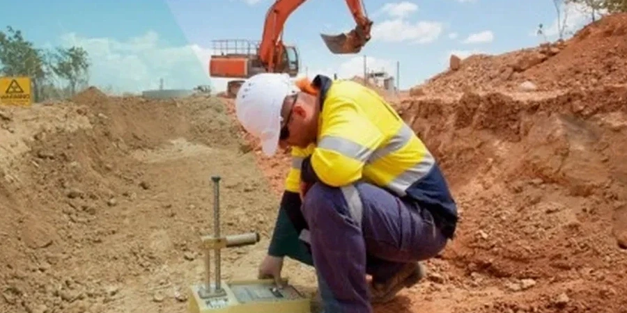
What field data do you need to build the Vs model?

We rely on shear wave velocity profiles. MASW arrays and downhole seismic are our primary tools. In soft soil, seismic CPT gives continuous Vs data. Borehole logs calibrate the geophysical layers. The combination reduces uncertainty in the velocity model.

How long does a microzonation study take from field work to final map?

Fieldwork typically takes one to two weeks depending on array size. Lab dynamic testing on select samples adds two to three weeks. Ground motion modeling and reporting require another two weeks. A full study delivers in five to seven weeks from mobilization.

Can you provide spectrum-matched accelerograms for time history analysis?

Yes. We select seed records from global strong-motion databases based on the deaggregated magnitude-distance scenarios. Records are spectrally matched to the target uniform hazard spectrum using wavelet-based algorithms. We deliver the matched acceleration time series in formats compatible with ETABS, SAP2000, and OpenSees.

Location and service area

We serve projects in Wollongong and surrounding areas.

View larger map